|
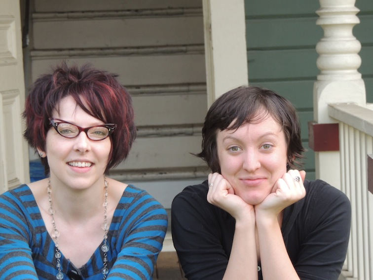
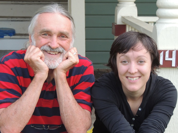
Bellingham to Seattle area, about 120 miles to Jon's house Jon really lives about 20 miles south of Seattle and I think actually closer to Tacoma. It's a big metropolis Shot a bunch of pictures with the kids, ate some peanut butter pie, had some Acorn Squash soup, got a ride in Jon's 'new' 2003 Mustang, took a great drive along the coast south of Bellingham along the ChuckANut drive Ann has landed in NY from Germany and will be coming out to Seattle on Wednesday. We will get a chance to visit one of our teaching friends from Nanjing, China, and then we will be on our way Eastward. (Planned stops are Kalispell, MT - another teaching friend; Fort Wayne, IN to visit Billly's daughter Liz, her husband Andy and 2 grandkids Kate and Zeke; Then Millford, NY to say hi to Chuck (Billy's brother) and his wife Laura, and maybe Spence and Jane, their children, if they are home at that time; and finally Long Island. 3000 miles to go!
0 Comments
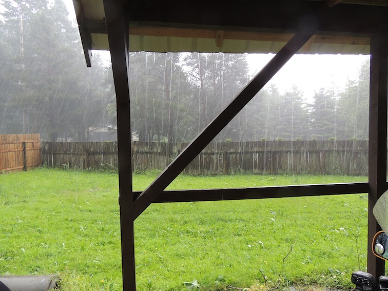
About 50 miles inland from Bellingham lies Mount Baker. Here is its background from a welcome sign. Of course the ski season and resort was closed for the summer. Hardly anyone on the road, mostly cloudy, but not quite rainy. The sun and light played peek a boo with the clouds all day. On my drive home it actually looked like it was going to clear with blue sky and warm sun. Not more than 20 minutes later, I noticed a black cloud that was hanging suspiciously in my path. Long octopus tentacles hanging toward the earth. As I got closer, the swirling winds began to move the motorcycle left and right on the road. I noticed above the tree line that leaves from the hardwoods were swirling, there were some branches down on the highway making a one lane out of two, and then it burst loose.
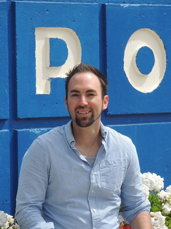
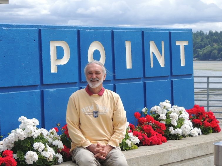
After about a minute I stopped the bike along a driveway, unable to see anything, hail and rain coming down in buckets. I noticed a driveway to my right and an unused carport up the drive. I spent the next 30 minutes under the carport in a soggy wait for the storm to pass. The owners of the property weren't home for me to thank, but I was indeed thankful. Once I began again, my heated grips on the bike warmed me up through my wet summer gloves. Warm hands really make a difference in your whole body circulation. "Father's Day" Great breakfast at a local "Dash Point" seaside restaurant, great views, great time 21 June
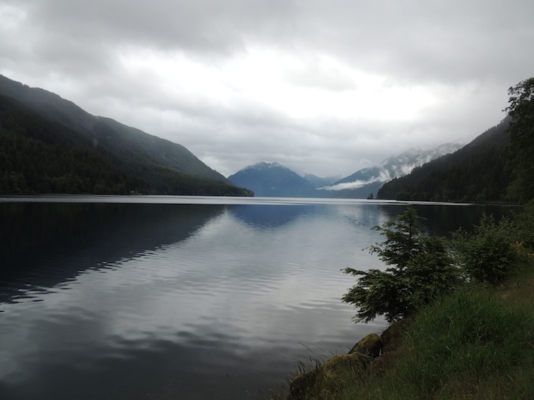
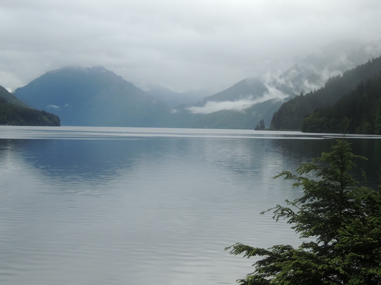
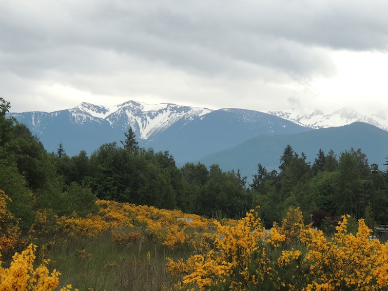
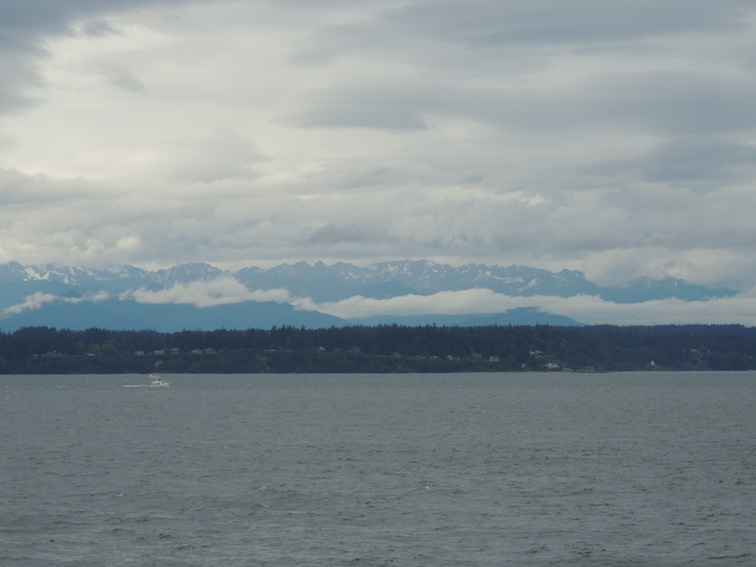
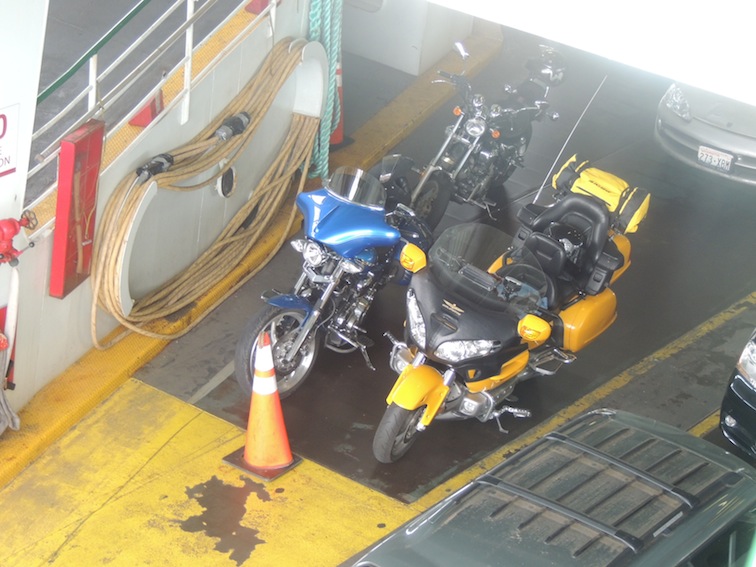
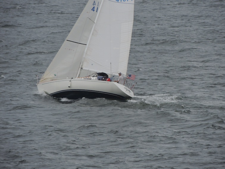
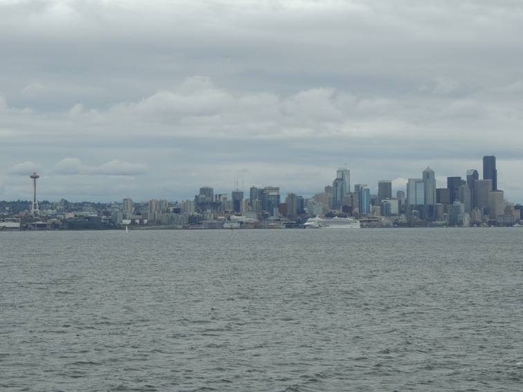
Bellingham, WA Visiting my daughter, Sharon and met her friend Urana Olympic Peninsula today. Packing up my soggy tent into the black and yellow luggage that sits on the back of the GoldWing, the day had that "maybe rain, maybe sun, but mostly cloudy day" ahead. There are many county, state, and national parks, forests, and campsites. So many that you'd have to be a local just to know that they are there. The Olympic National Forest was a pleasure to drive through. Logging trucks and some travelers were all that was found on the highway. Turning a corner after Fairholme near the top of the peninsula I came upon the gorgeous Lake Crystal. I didn't know its name at the time but they named it perfectly. One can see to the bottom of this lake whose waters were absolutley stunning, even with a cloudy, misty day. Looking south from the Port Angeles area one can see the snow capped Hurrican Ridge area of the Olympic Wilderness Finally time to take a ferry from one of the many penisulas over to Seattle. Looking back at the range that Mount Olympus inhabits truly shows the distance traveled. 360 miles completely around the peninsula. One needs to spend many weeks and seasons in the diverse area to appreciate it. It is home to 8 American Indian tribes, coasts, forests, and mountains. Stop by a Ranger station, get some maps, prepare to be amazed by the large and small. Windy day on the ferry, I still don't understand how sailboats don't tip over. Destination Seatte: a bed on the floor of my son's apartment, a shower, wash clothes, dry tent, rest a while.
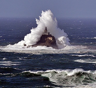
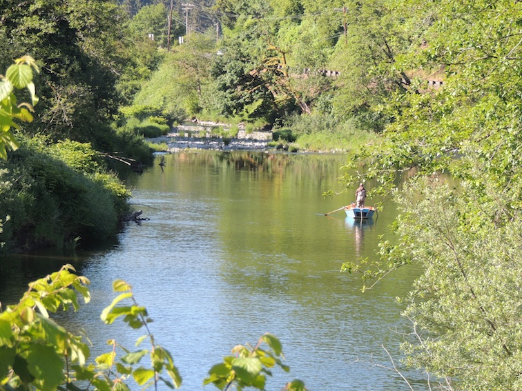
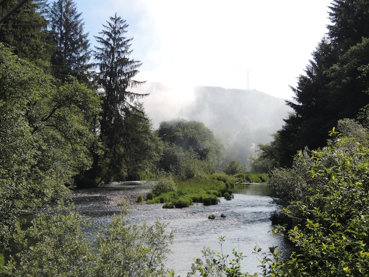
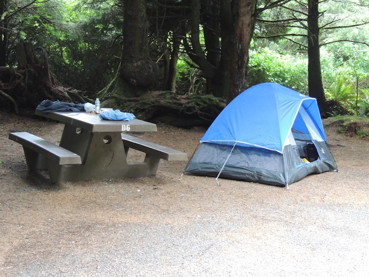
The Tillamook Rock Lighthouse stands out as and example of the roughest part of the Oregon Coast: both from the tenacity of the individuals who struggled to build it over a 574 day period in the late 1800's, as well as the ocean adversary that systematically ground it to pieces, one large wave at a time. It was clouded in obscurity as I passed it, but reading the roadside kiosk at an overlook truly told the story of why it was called "Terrible Tille". From the kiosk, "Storm waves buried boulders, driftwood and even fish into the light 133 feet above the sea level, often breaking lenses and windows." The picture came from the following link showing an enormous 'wave meets lighhouse' picture. Check out "Terrible Tillie's" history, fascinating. Leaving the Oregon coast and heading a bit inland on US101, the temperature warmed a bit, the clouds parted and the driving was over hill and dale along streams like this one near a lumber mill. In Washington state, US101 gives you a choice: Go East towards Seattle/Tacoma area OR go West toward the Pacific coast (This is pretty good for a north/south road). I headed West since the destination was to drive completely around the Olympic Peninsula. Settled down for a wet camping night at Kalaloch campgrounds where I met the camp hosts and shared a campfire and some warm tea. You can tell from the pictures that this is an untouched area of the coastline. |
Thinking about Things...

 RSS Feed